Early Speeds Map of Yorkshire
This item is now sold.


Early Speeds Map of Yorkshire
An early map of Yorkshire by John Speed, sold by Thomas Bassett, Fleet St, London c.1667. Superbly detail with excellent colour; approximately five miles per inch scale. Sat in a double side glazed frame with text to the rear - see further details of map within the image showing description to the rear. Presented in a quality walnut frame and in excellent condition. Map measures 20" wide x 15" high excluding the frame or 29.5" wide x 25.5" high with frame. Stock number CS323.
Stock number CS323


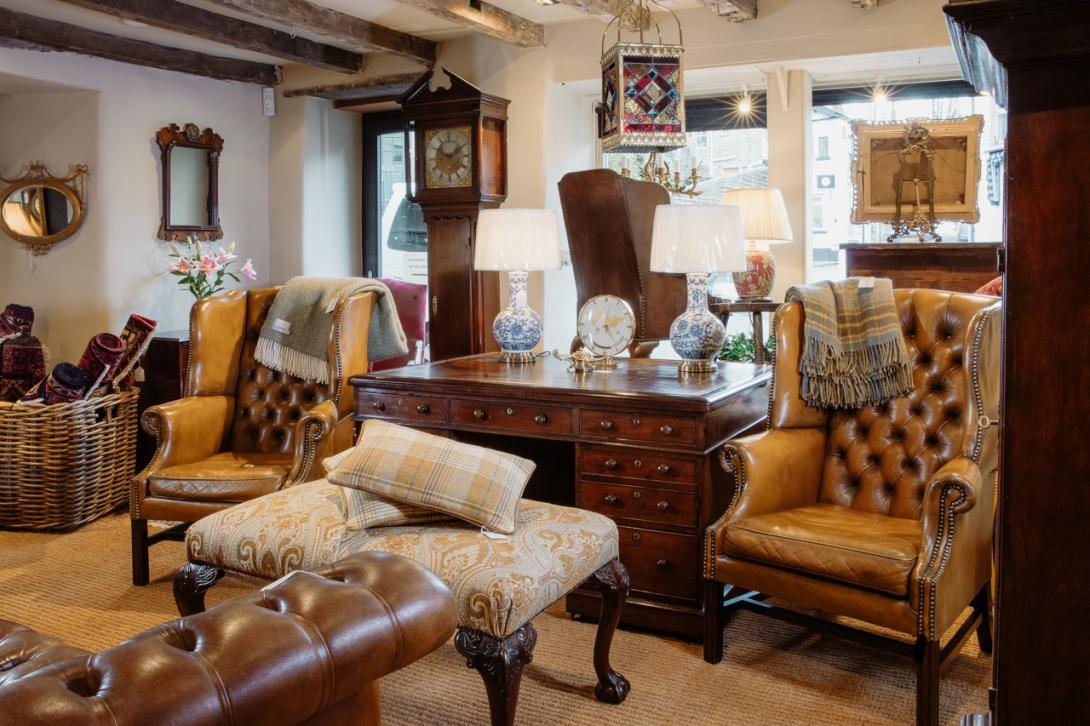
Showrooms with Inspirational Displays
Be inspired by our showrooms with a variety of room settings. Every item we sell is carefully selected by the proprietor, Peter Sturman. His eye for quality and originality ensures that beautiful, usable antiques are always available: for the traditional collector, or as statement pieces for contemporary interiors.
Location
Main Street, Hawes, North Yorkshire, DL8 3QW
Opening Hours
Monday to Saturday 10am - 5pm and Sunday 11am - 4pm